
 WAMXC Bike
 During the summer we pole hike on Saturdays and during the week, we bike, rollerski and do dryland workouts. We share bike routes on Ride with GPS where you will find maps, turn lists and downloads for GPS devices. Late changes, usually a function of weather are posted on the email list and calendar. If there is lightning, we do not bike. Occasionally, other local rides are posted to our calendar.
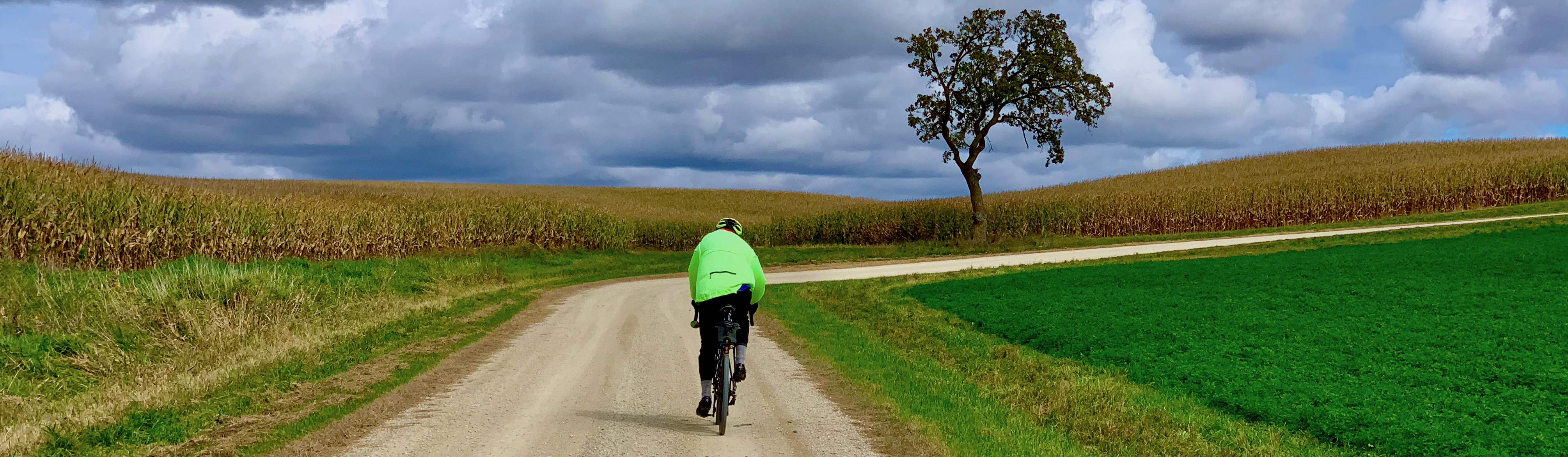
We ride roads, gravel and city-to-city tours. We especially enjoy rural roads in Western Wisconsin and Minnesota with countryside offering great scenery, infrequent automobile traffic and excellent riding. WAMXC hosts a few events and recommends a few other rides. See our notes below on Ultralight Touring*, especially for city-to-city tours.
Make room reservations now:
Bike safely. By the way, we like the roads around River Falls.
We began to Ultralight tour* in 2017, and carry bare essentials. We ride like this ...
 Ride With GPS is excellent for finding, creating and
sharing routes. Routes can be downloaded for navigation without using
cellular data. The mobile app speaks customized turn lists for heads-up
bicycle navigation. A one-month pass can be had for a few bucks.
Ride With GPS is excellent for finding, creating and
sharing routes. Routes can be downloaded for navigation without using
cellular data. The mobile app speaks customized turn lists for heads-up
bicycle navigation. A one-month pass can be had for a few bucks.
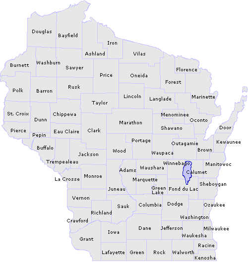 Wisconsin county bike
maps identify low traffic, paved and gravel roads.
Wisconsin county bike
maps identify low traffic, paved and gravel roads.
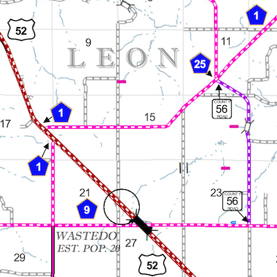 Minnesota
County Maps are large files so best loaded onto local media for viewing. They
identify unpaved roads and are easy on the eyes.
Minnesota
County Maps are large files so best loaded onto local media for viewing. They
identify unpaved roads and are easy on the eyes.
 Google maps can identify road
closures, offers cycling directions, finds amenities and
permits downloading for use without cellular data.
Google maps can identify road
closures, offers cycling directions, finds amenities and
permits downloading for use without cellular data. 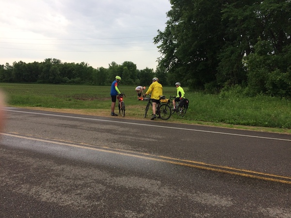